Concept BDesign concept by Clearview for the Alliance’s website RFP. This is not the Alliance’s website; the real one is iditarod100.org. About this concept · See concept A

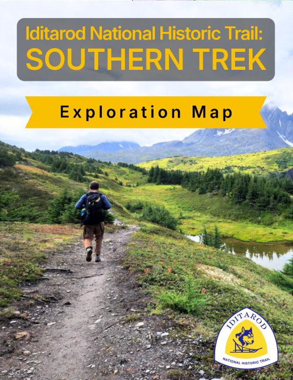
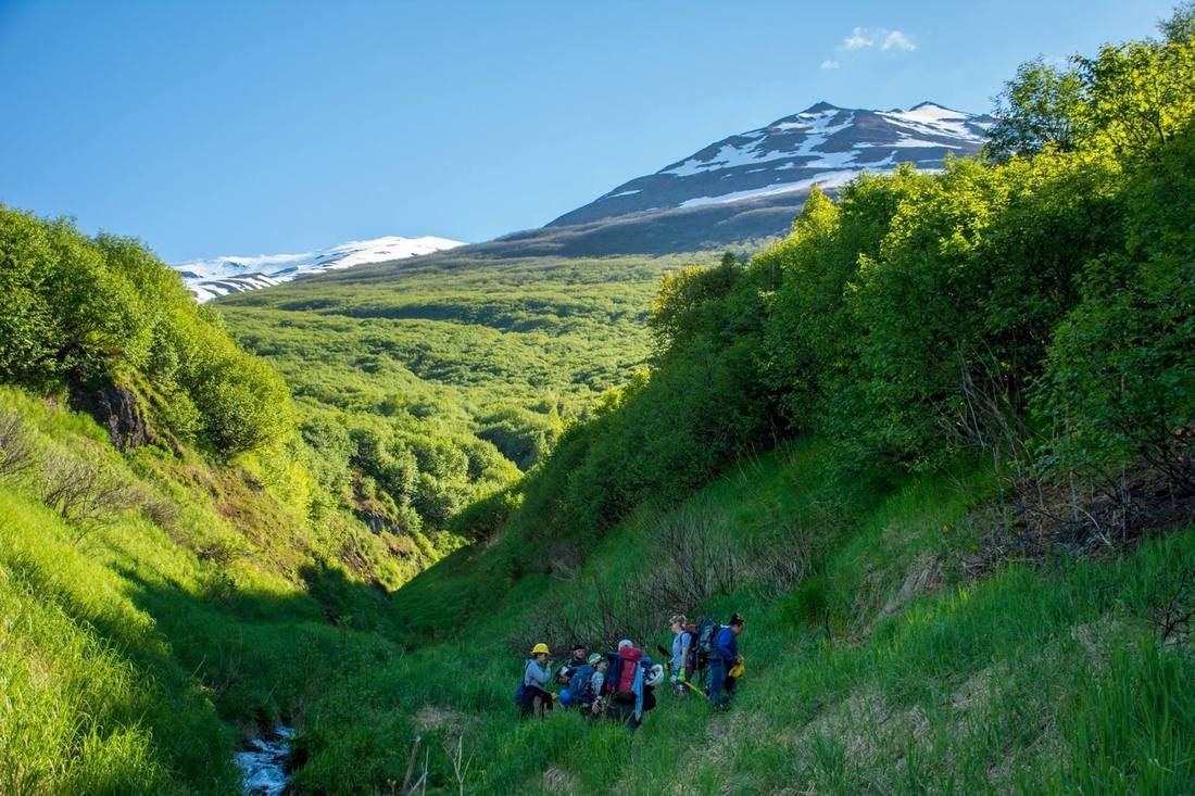
A trail crew on a narrow path in a deep green summer valley below a snow-capped peak Photo: J. Torres, 2018

The Iditarod National Historic Trail

Over 2,400 miles of trail. Seward to Nome.

A system of trails. Some first connected Alaska Native villages; others opened Alaska to the gold rush. Together they celebrate Alaska’s history and dog-mushing legacy, and they are still vital for travel and recreation across Alaska today.

Plan a trip Explore the history

The Trail in five parts

Everything you need to know, on one page

This is the INHT

A trail for all seasons

Designated by Congress in 1978 to commemorate the last great American gold rush, and part of the National Trails System. The Alliance, founded in 1999, promotes public awareness and protection of the Trail and its gold-rush and Alaska Native heritage.

  • Mile 0in Seward, on Resurrection Bay
  • 1999the Alliance founded
  • 10,000+gold seekers, 1910–1912
  • 1925the Serum Run to Nome

About the Alliance

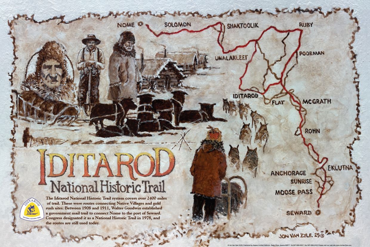
Map of the Iditarod National Historic Trail, Seward to Nome The trail runs from Seward on the Gulf of Alaska north past Anchorage, northwest over the Alaska Range at Rainy Pass to Takotna and Iditarod, north to Kaltag on the Yukon, west to Unalakleet, then along Norton Sound through Golovin and Solomon to Nome. Seventeen communities from the Alliance's list are marked and listed on the Plan a Trip page. SewardMoose PassGirdwoodEagle RiverEklutnaKnikSkwentnaRainy PassTakotnaIditarodKaltagGalenaUnalakleetGolovinSolomonNomeTolovana RoadhouseAnchorageWillowMcGrath
  • Iditarod National Historic Trail (main routes)
  • Communities on the Alliance’s list
Trail lines from the Alliance’s 2015 Story Map; community locations from the U.S. Census Bureau and USGS; coastline from Natural Earth. Drawn in code, retrieved 18 October 2026.

Locations & landscapes

From the ice-free harbor at Seward over the Alaska Range at Rainy Pass to Norton Sound and Nome. Open the map

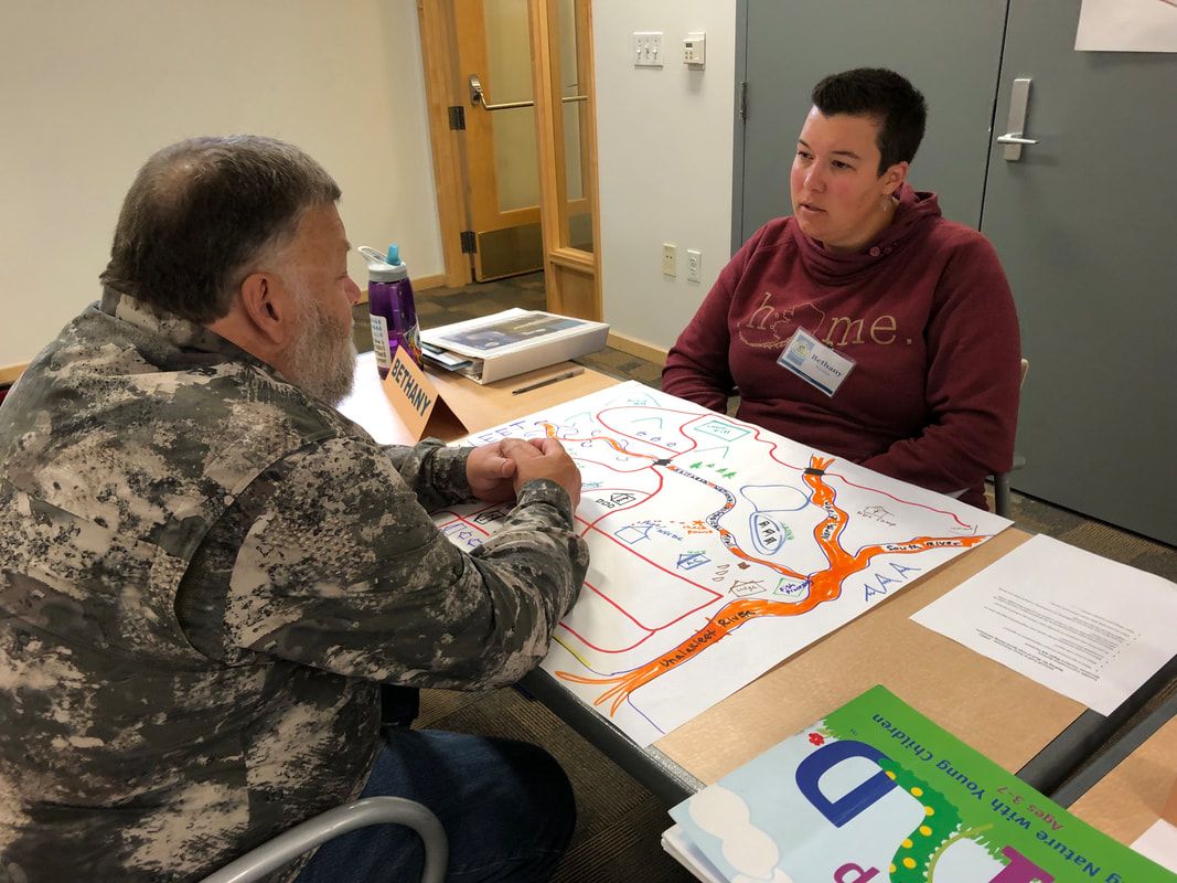
Two educators at a table working on a large hand-drawn map of the trail

Multiple uses

Racing, riding, walking and learning

The Iditarod Sled Dog Race, the Iron Dog and the Iditarod Trail Invitational in winter; trail building and hiking in summer; iTREC! in the classroom.

History

1908 to 1925

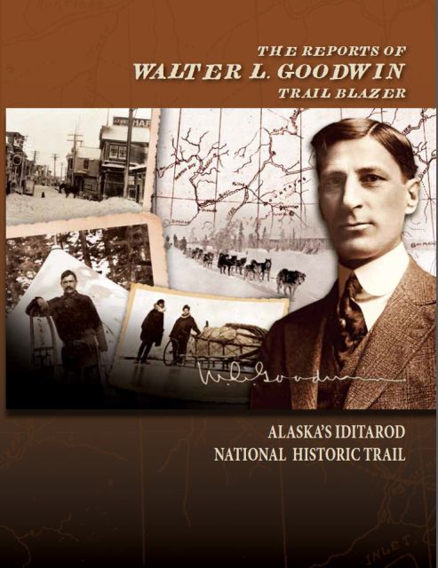
  1. 1908Walter Goodwin blazes a route from Seward toward Nome.
  2. 1910–1912Over 10,000 gold seekers; over $30 million of gold leaves Iditarod.
  3. 1925The Serum Run to Nome.

The full story

Communities

17

Cities, villages and towns, from Seward to Nome, in the Alliance’s own words.

Meet the communities

Design note: Concept B tells Attachment 1’s five-part homepage story as a grid you take in at a glance; concept A tells it as a scrolling sequence. Same content, same order, same accessibility bar. The Alliance can choose either, or mix them.

When are you going?

Plan a trip

Winter

The Trail’s own season

Temperatures can drop as low as −40°, and snow is possible at any time. Race season is the time to feel the rush of the Trail: the Ceremonial Start is in Anchorage and the restart in Willow.

Winter trip planning

Summer

Walk the southern trails

Many sections are barely usable in summer, and villages travel by river. Chugach State Park, the Chugach National Forest, Girdwood and Eagle River have wonderful summer trails.

Summer trip planning
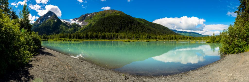
Design note: Season is the first decision every visitor makes, and the current Plan Your Trip page already splits its advice that way. Concept B puts that choice on the homepage. The photographs here are decorative (the same text is beside them), so they carry empty alt text.

Gateway communities

Seward to Nome, stop by stop

  1. SewardMile 0
  2. Moose PassRead more
  3. GirdwoodRead more
  4. Eagle RiverRead more
  5. EklutnaRead more
  6. KnikRead more
  7. SkwentnaContent needed
  8. Tolovana RoadhouseRead more
  9. Rainy PassRead more
  10. TakotnaRead more
  11. IditarodContent needed
  12. KaltagRead more
  13. GalenaContent needed
  14. UnalakleetRead more
  15. GolovinRead more
  16. SolomonRead more
  17. NomeRead more

Records & stories · 1920

Walk with Arne Erickson

21days
350miles
25stops

On 29 October 1920 Arne Erickson and his friend Oscar left Flat on foot for Anchorage. His diary records every day: burnt beans, days on snowshoes, a $150,000 gold shipment overtaken on the trail, and fruit in Anchorage at the end.

Read the diary, day by day

“Left Happy Roadhouse at 6:40 A.M. Caught up with and passed a dog team that was hauling a big shipment of gold …”

Arne Erickson, 13 November 1920
Design note: The Story Map that held this diary was retired by Esri. Its text, notes, stops and trail lines were still in the public ArcGIS data, and both concepts bring it back as a page no vendor can retire.

Join, give, or take the Trail home

Visit the store

Become a member

Members receive the Tripod and an invitation to the annual meeting, and dues support programs like iTREC! and trail safety projects. Memberships start at $20 and run January to December.

Join or renew Donate

Get trail news

Trail updates, events and the occasional historic photograph.

Made with Nanopage